Σαββάλας Νέος Πλήρης Σχολικός Άτλαντας Ευρώπης & Ηπείρων – 33715
The "New Complete School Atlas of Europe and the Continents" is written according to the new textbook.
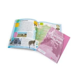
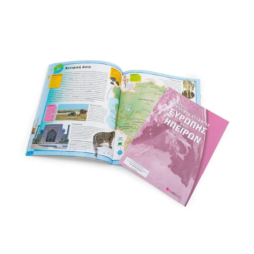
It includes political and geophysical maps of Europe and all other continents, as well as useful information about countries, cities, climate, population, religions, economy, etc.
At the end of the book you will find the flags of all states, with their basic data (area, population, capital, currency), as well as useful tables with geophysical and political comparative data.
In the inserted Workbook the student will check and consolidate the knowledge he acquires.

